The Eros Occultation
Mar 11/12, 2019
This famous and largest of the Earth-Crossing asteroids, at magnitude 10.5, passes in front of a 6.7 magnitude star on the evening of Monday March 11. Here's Preston Prediction page. David Dunham has sent a new shape model and orientation which makes getting to the path a little easier than I'd thought. The best weather on the path in the U.S. is in the Bay Area. As of Sunday, the best predictions page is here . Dunhams email is here...
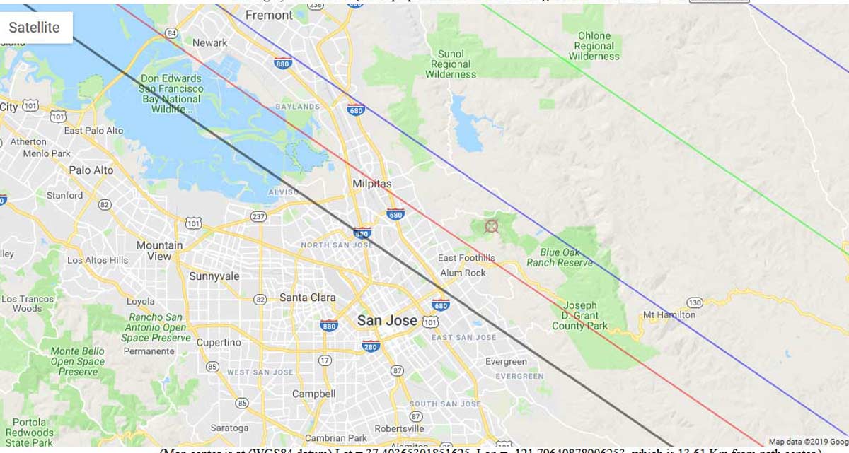
Thanks to Josef Durech, the (433) Eros shape model determined by R. Gaskell from the NEAR-Shoemaker mission is now available on the DAMIT web page at https://astro.troja.mff.cuni.cz/projects/asteroids3D/web.php . I have used it to show Eros in the sky plane at the epoch of the March 12th occultation. It will be posted probably later today at Steve Messner’s page for the occultation at http://www.occultationpages.com/rasc/20190312_433Eros.html . Eros’s long axis is nearly perpendicular to both our line of sight, and to the direction of motion in the sky, so its projected path should be 46 km wide, rather than the 23 km width that Steve Preston gives in his prediction, assuming Eros to be spherical with diameter 16 km. You can use Derek Breit’s interactive Google map for the event at http://www.poyntsource.com/New/Google/20190312_62652.HTM to plot the new projected path, using offsets of -22.2 and +24.2 for the dark gray lines to show the new limits; then ignore the old ones shown by the blue lines. The new path over the San Francisco Bay area is shown in a map that is either attached, or will be posted later by Steve Messner.
Keep in mind that the one-sigma error in Steve Preston’s prediction is 4.1 km. And there could be a larger shift, if the spectral type B9 star is a close double. In addition, Jon Giorgini at JPL has computed (and posted on the Horizons Web site) an orbit that includes NEAR-Shoemaker ranging observations, some recent radar rangings, and the few past occultations that have been observed, relative to Gaia DR2 stars. Steve Preston hopes to compare that orbit with his current (Feb. 15) orbit during the next couple of days. A rough preliminary comparison shows that the two predictions are similar.
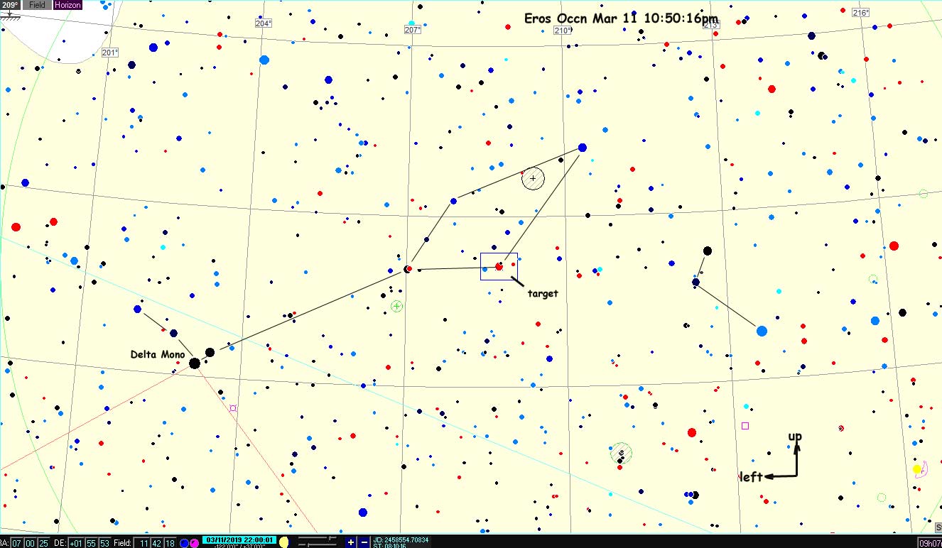
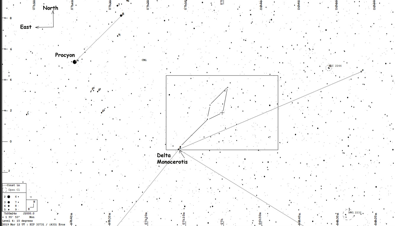
The target star is in Monoceros, about 1/3 way from Procyon to Betelgeuse., about 51 degrees up in the southwest at event time of 10:50:18pm PDT
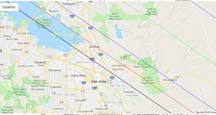
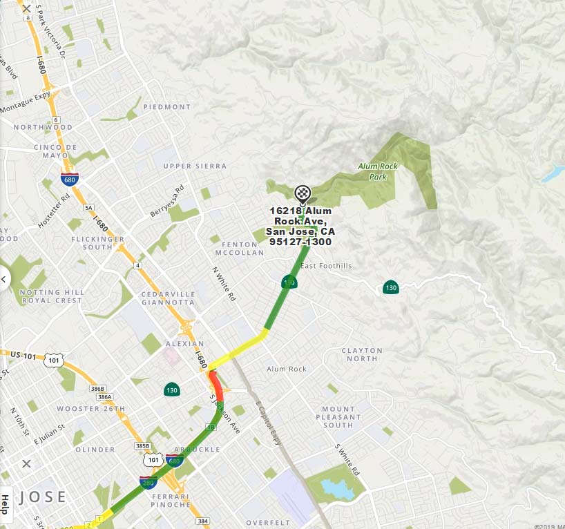
Updated path and width, using the new JPL orbit and orientation proper to event time. Eros's long axis is optimally perpendicular to the path so we get a wider path. I'm on OW for the south entrance to Alum Rock Park, Mapquest says 57 min from Cabrillo College in late evening, to this southern entrance to Alum Rock Park.
|
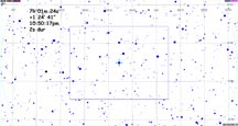
The view on the chip of the Watec 910hx as seen on a ZR45mc camcorder LCD screen, hooked to the 8" 8SE with f/3.3 reducer in the Cabrillo standard configuration
|
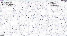
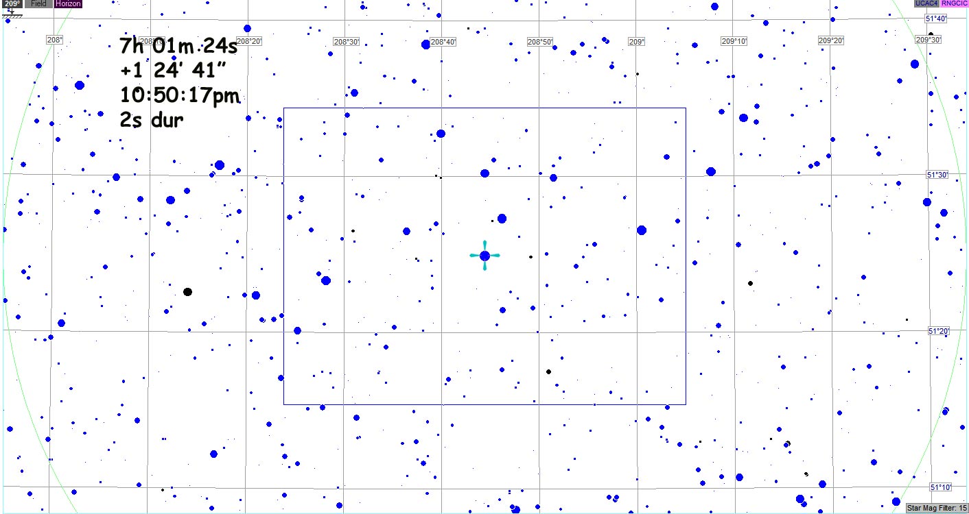
The eyepiece FOV at 10pm, 50 minutes before the event. The altitude is 51 degrees in the southwest. This is again using the Celestron 8SE with Q70 eyepiece and 2" diagonal
|
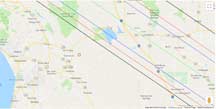
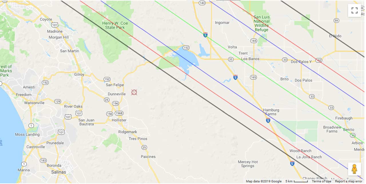
JPL Prediction limit lines (in gray, outside the red lines) for east southeast of the Santa Cruz area.
|
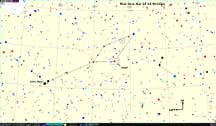
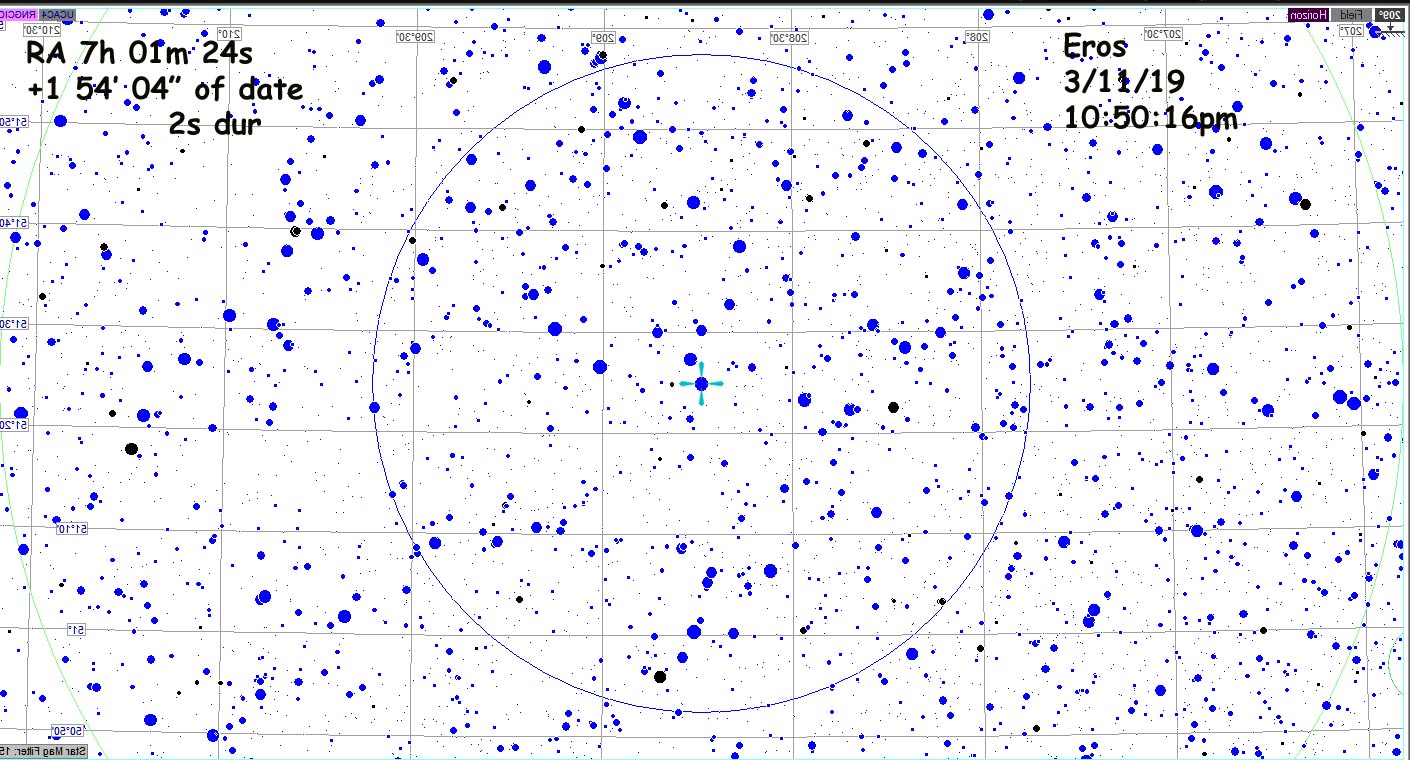
Wide field, showing Delta Monocerotis. Procyon is up/left out of the frame
Super wide field Preston wide field star chart, showing entire western sky |
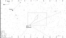
Smaller but still wide field, showing Procyon
|
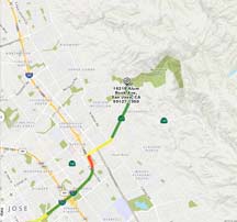
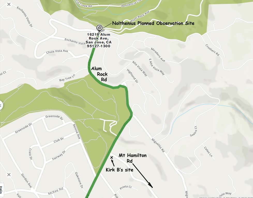
To get to our sites, drive Hwy 17 over the hill, get on I-280 through downtown San Jose and continue to offramp to Alum Rock Road, take it right, uphill, and pass Kirk's site (red van!) and to my site a mile further up into the hills.
|
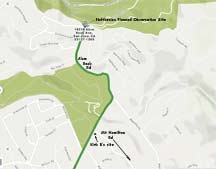
My planned site, where I've observed an event once before, is at the end of Alum Rock Rd where it is gated at the back entrance to Alum Rock Park. Kirk will be (planned) at the base of Mt Hamilton Rd
|
|
|
Results
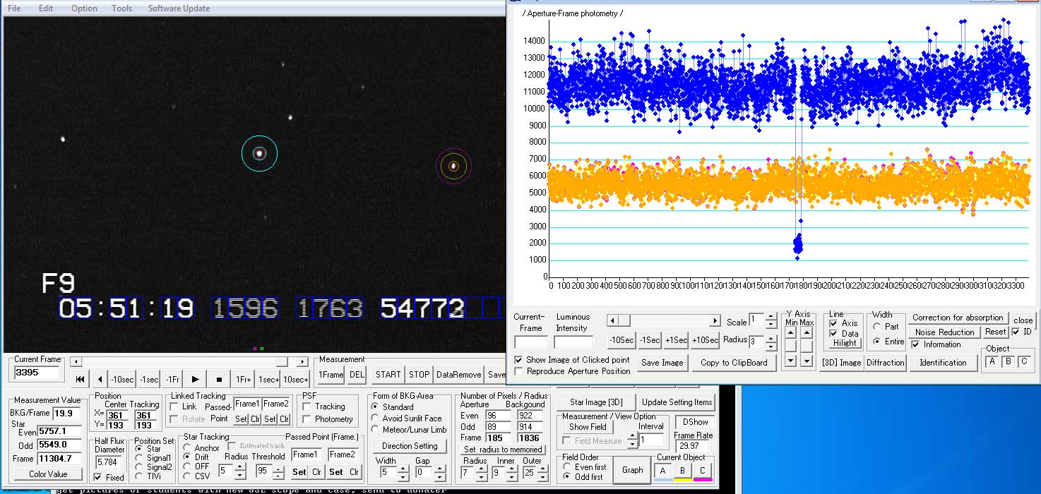
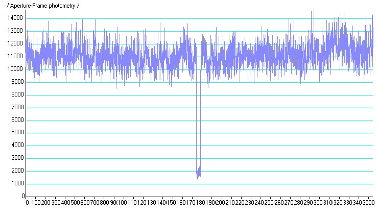
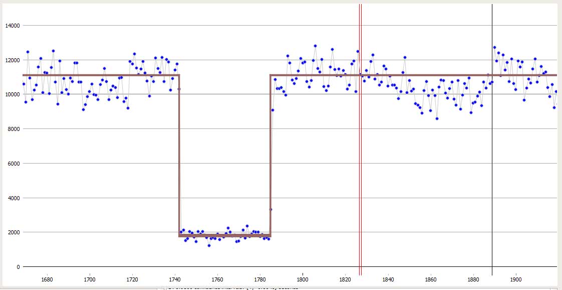
We had clear skies and got two successful chords. Kirk nailed his first fully equipped asteroid occultation like a champ! Successful recording on the camcorder miniDV and great looking data. I'm the one who had trouble... forgetting a key power cord that forced me to try to use the battery inside the "2nd Unit" toolbox to power the scope - and it kept blowing fuses. I used the splitter originally destined for the microphone as power source. So, I had to give up on getting a video recording and settled back in the park's grass on my back and turned on my iPhone message app while I watched carefully with the 10x70 binoculars, shouting D and R. Good reaction times and Kirk and I had nearly identical durations of 1.4 sec for the event.
Kirk's Site: Parking area at Alum Rock Rd and Mt Hamilton Hwy.
Long 121 48 57.83"
Lat 37 23 01.57"
elev. 390 ft
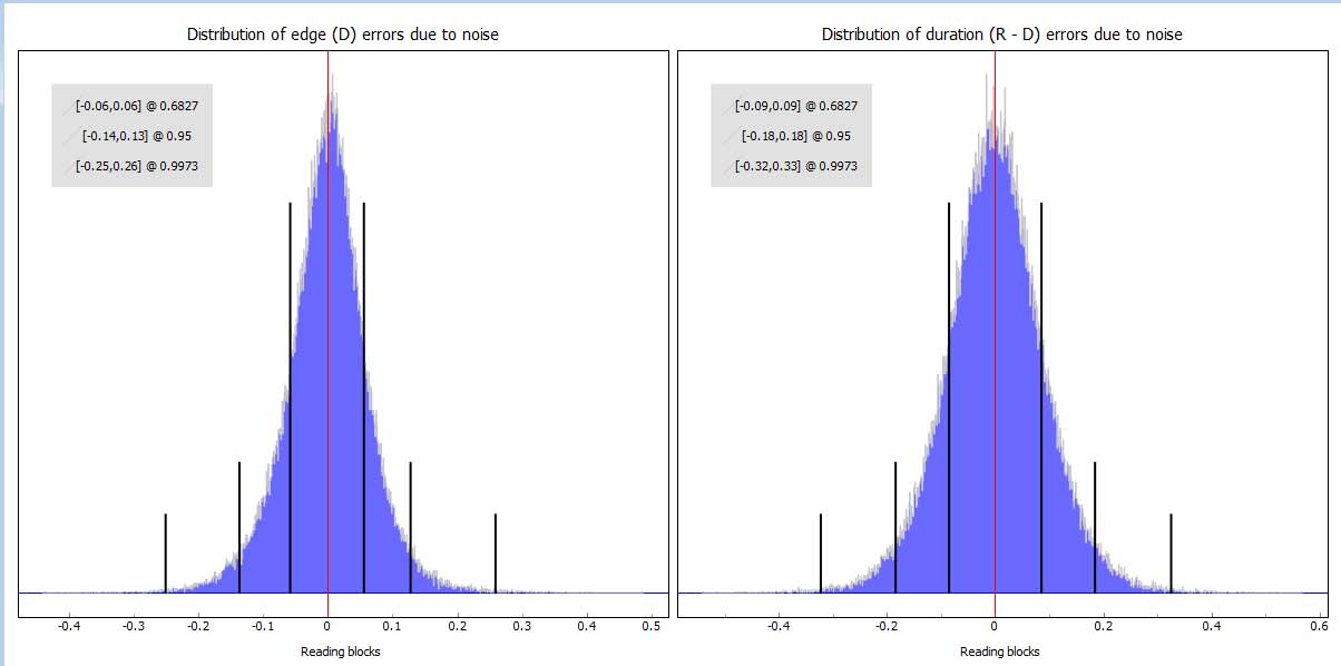
The Pyote analyzed final report for Kirk's observations.
Richard Nolthenius Observations
Site: on service road at south border of Alum Rock Park
Long: 121 48' 59.12"
Lat 37deg 23' 32.00"
Elev 553 ft
Nolthenius Recording
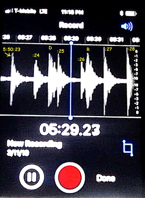
Quite nice that the iPhone provides a graph of the audio intensity, so that I could pause and snap a picture of the iPhone screen and then do the measuring of the beginning of the time ticks and my "D!" and "R!" shouts. I will finish the reports for IOTA soon.
:23 tick = pixel 44
:28 tick = pixel 512 or 93.6 pixels per second
D! is at pixel 193
R! is at pixel 344
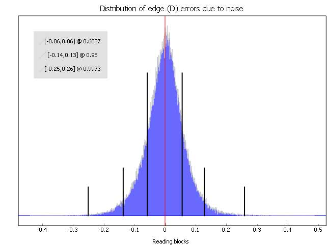
(193-44)/93.6 = 1.59sec past :23 or 05:50:24.59 raw - 0.35s RT = 05:50:24.24 +- 0.15s
(344-44)/93.6 = 3.21sec past :23 or 05:50:26.21 raw
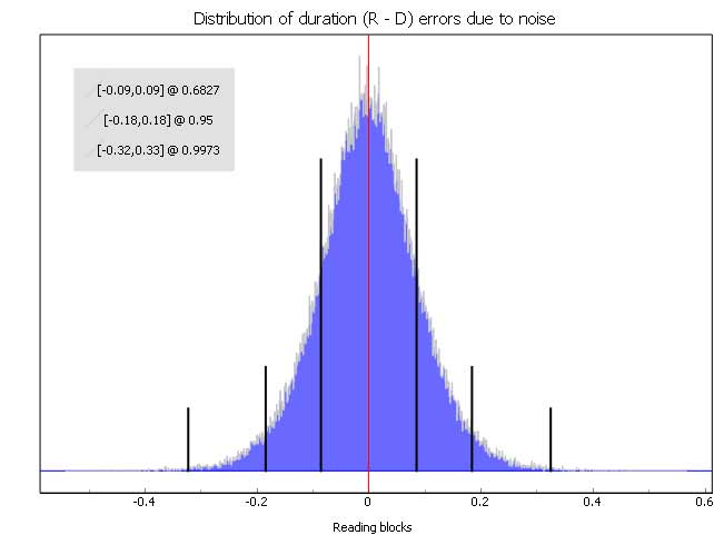
- 0.39s RT = 05:50:25.82 +-0.18s
1.58s duration
which is a bit longer than Kirk's 1.429s duration, just as we'd expect near the southern limit.